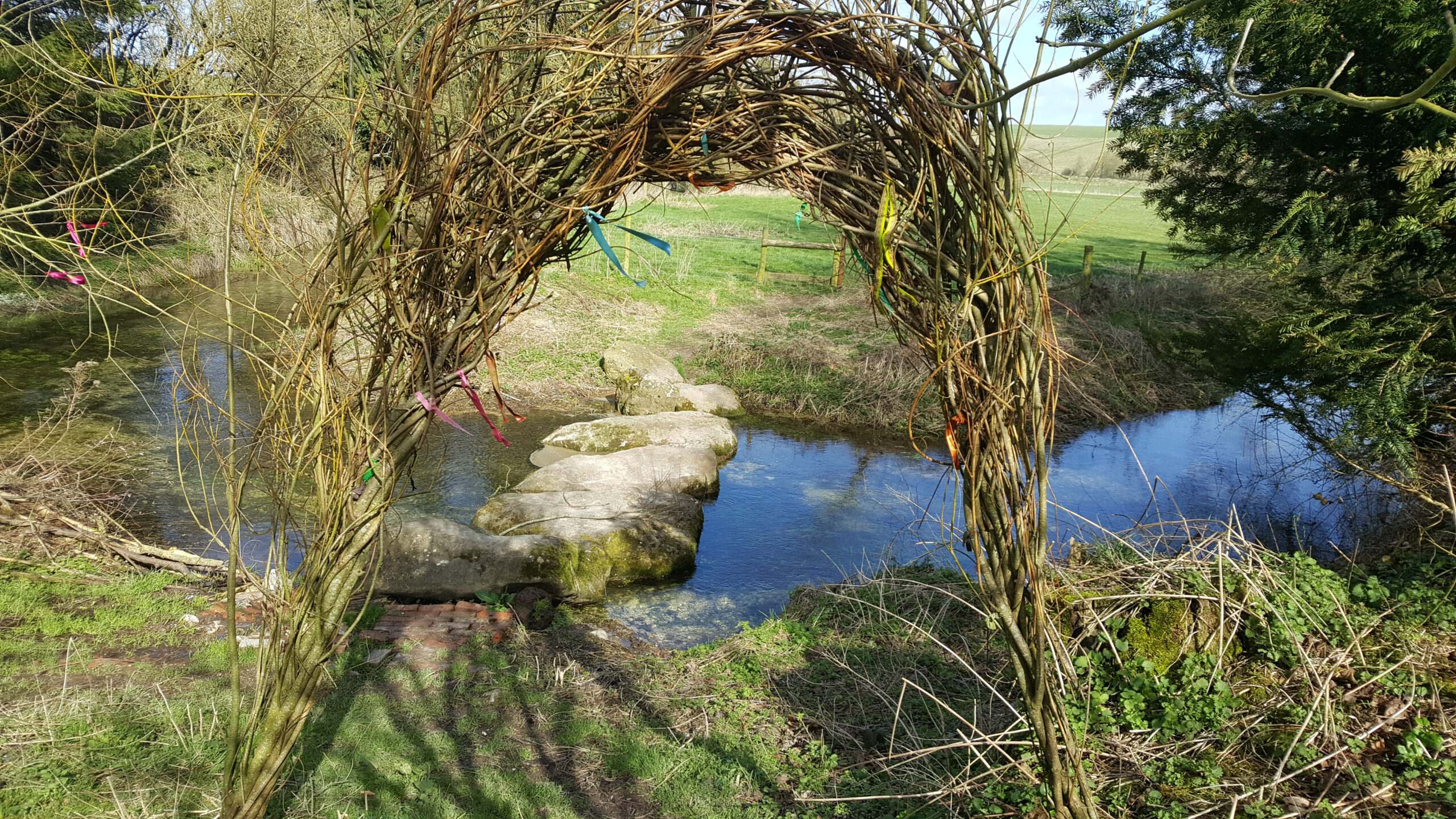
Like so many Neolithic henges, Avebury was built close to a river: in this case the Kennet, which rises at Swallowhead Springs and joins the Thames near Reading. Many of the springs and streams which form the Kennet are small winterbournes – an almost ubiquitous name in Wiltshire, from the Anglo-Saxon word for a stream flowing from a spring. As the name suggests they are often only active in the winter months, when, because the temperature of the underground water is so much higher than the outside air, the rivers can often be seen to steam in icy weather.
The old name for the Kennet was the “Cunnit”, which some say was taken from the Roman town of Cuneto, downriver near Mildenhall. But of course that simply begs the question: where did Cuneto get its name? Perhaps the guidebooks are embarrassed to suggest a likely origin. Michael Dames, however, is in no doubt and quotes words from a number of languages with Indo-European origins, making the matter abundantly clear!
The average visitor to Avebury, I sometimes think, troops dutifully around the stones and despite two museums on site never really gets the feel of the place, its antiquity and our own deep connections to the wider landscape. Perhaps I should be grateful: it’s only necessary to walk for five minutes in any direction to have the Marlborough Downs and the treasures of our ancestors almost to oneself, even though more energetic visitors do make it to nearby Silbury Hill and West Kennett Long Barrow, while many Goddess devotees also know of Swallowhead Springs, the true source of the river Cunnit, to judge by the number of clooties and other offerings to be found there.
An exciting recent discovery in this area is of an entire Roman settlement, apparently the size of 24 football pitches, stretching across the A4 road, which here follows the path of the old Roman road from Bath – Aquae Sulis – to Calleva (our Silchester) to the east. It’s well known that the Romans were perfectly happy to recognise British deities and to link them with their own, and they also worshipped springs, with Aquae Sulis, of course, being a stunning example. Swallowhead Springs may also have attracted Roman worshippers, an idea supported by the layout of the Roman settlement as indicated by geophysical survey, not just close to Swallowhead but very close to Silbury Hill, too.
Within twenty miles of Avebury are several more henges, most built very close to the river Avon (another British word, this one simply means “river”). I was travelling south towards the Marden henge, which was recently excavated and has turned up some very interesting finds, when I remembered a 12th century church where, I had read somewhere, there is an ancient yew tree, so decided to stop for a brief visit.
The church to St Mary the Virgin is in a village called Alton Barnes, only five miles or so south of Avebury and surrounded by fascinating sites, barrows, earthworks, white horses – you name it, they’re here. This whole area is pretty much “Crop Circle Central” and has an extraordinary atmosphere, which defies description.
The Alton Barnes church is pretty and certainly old, with a lovely old yew tree in the grounds. But while there I noticed a leaflet suggesting a visit to the “sister church”, just a couple of fields away in the twin village of Alton Priors. I also noticed springs marked on the Ordnance Survey map, somewhere between the two churches. Intrigued, I stared down a couple of large cows which had taken possession of the entrance to a bridge over the springs and once on the bridge stopped dead in my tracks: not only was I crossing a very active spring but the church ahead of me was clearly built on a mound and little or no effort had been made to disguise that fact.
All Saints Church, as it is called, is no longer in use but still maintained, and on entering I spotted a framed certificate, signed by David Bellamy, among others, stating that the yew was “at least” 1,700 years old. Now this is an old church, and was possibly built over a much older one – but even that is unlikely to have predated the tree.
Delighted to have found such a special place, I made for home and did some research. The site was, apparently, once known as Broad Well, from the older Brade Wyll , a name mentioned in Saxon Charters of 825 CE. It’s suggested that the name means Wide Spring, but I think Bride Well is also entirely possible.
As for “Alton”, according to the Encyclopedia Britannica “aewielle” means a spring at the source of a river. “Tun”, usually denotes an enclosure or fenced dwelling so Aewielle Tun would be a very likely Saxon name for the place.
But the best discovery was yet to come, as my research led me to read of possible buried standing stones under All Saints Church.
I love any excuse to visit this area, and was back within days. There are two trapdoors in the church floor, one to the right of the main door and one further away, close to the altar. I hardly believed it possible, but sure enough, on lifting the trapdoors recumbent Sarsen stones are clearly visible, and they are obviously known to other people as one had a tiny bunch of wild flowers and a note simply reading “Thank you”.
Two stones is too small a sample for us to know where there may be, or may once have been a full stone circle here, and I doubt if the church would like me to start digging up the foundations – but I would love to know!
Personally I like to leave only footprints at sacred sites, and to take only photographs, but would like to add my own heartfelt “Thank you” for the beauty of this numinous site; I know I will visit many more times.
©Geraldine Charles, June 2017